Mobile App & Dashboard
Scientific Instrument Data Uploader
In our increasingly connected world, and at the end of the day.. scientists need an easy way to get data from the field into a cloud environment where it can be used with auxiliary geospatial covariates or images, processed, and visualized to render actionable information to end-users.
The X-Centric app and dashboard have been developed for maximum compatibility across different sensors and instrumentation, not necessarily just our instrumentation.
As a Public Benefit Corporation aiming to decrease the cost of quality science, we have decided to make our hard built infrastructure available to all.
Whether you’re an individual scientist, curious maker, or enterprise customer we welcome you to use our systems for your own applications.
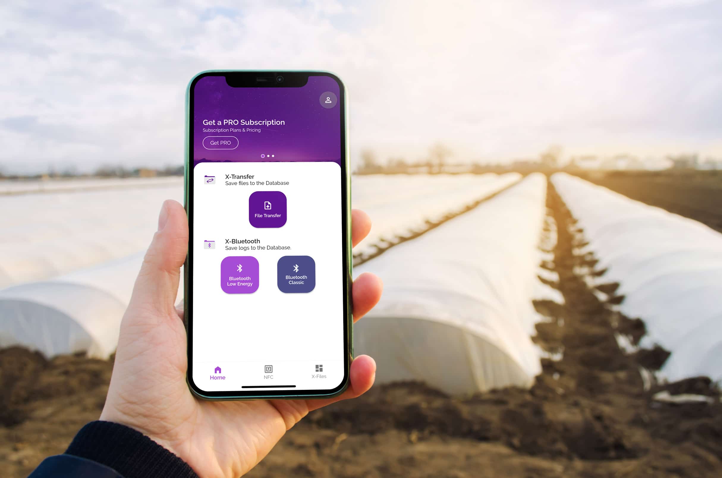
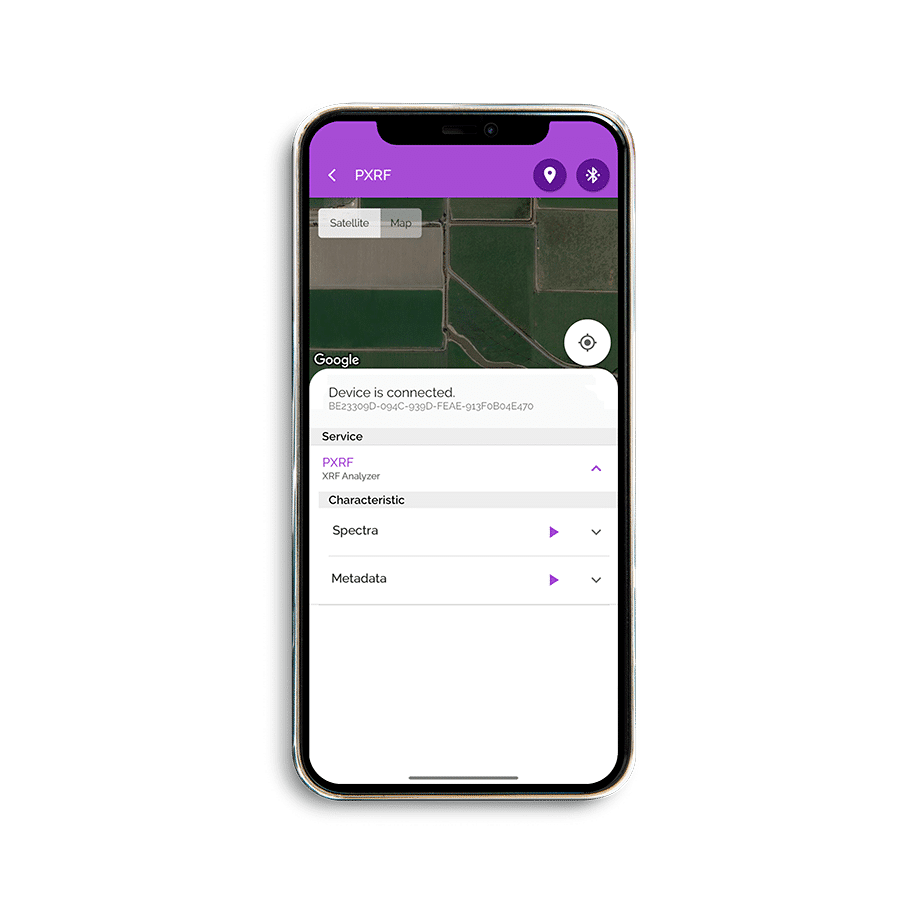
Bluetooth LE & Classic
Connect to any device over Bluetooth.
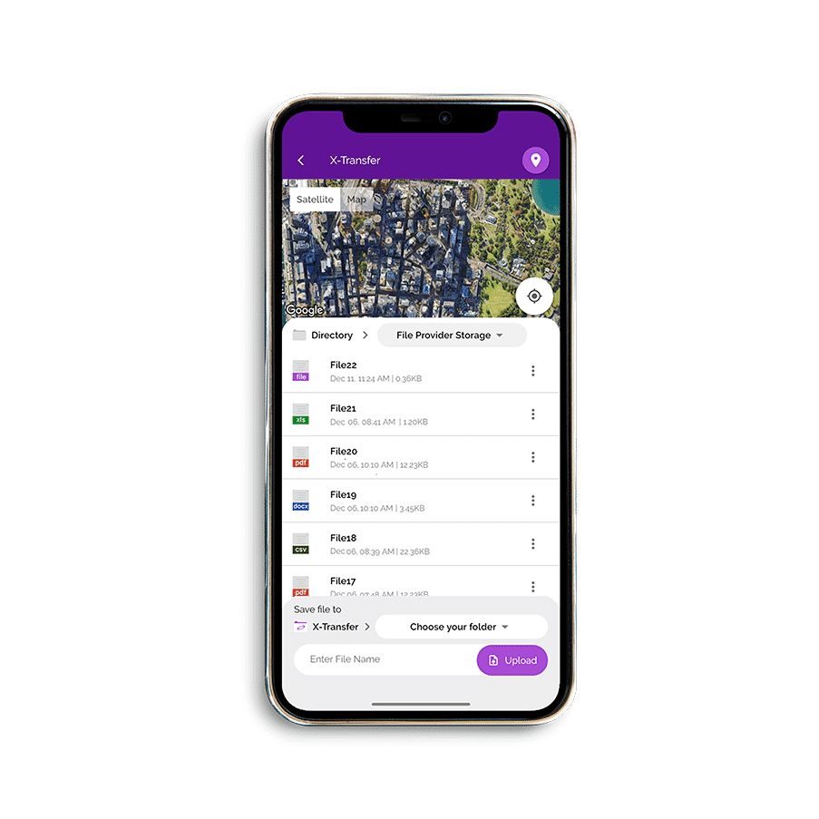
File Transfer
Upload data from the field to the X-Centric Dashboard where it is available in real-time, anywhere in the world.
Some types of data may be seamlessly imported into your own systems in JSON format by subscribing to X-Centric’s secure MQTT broker.
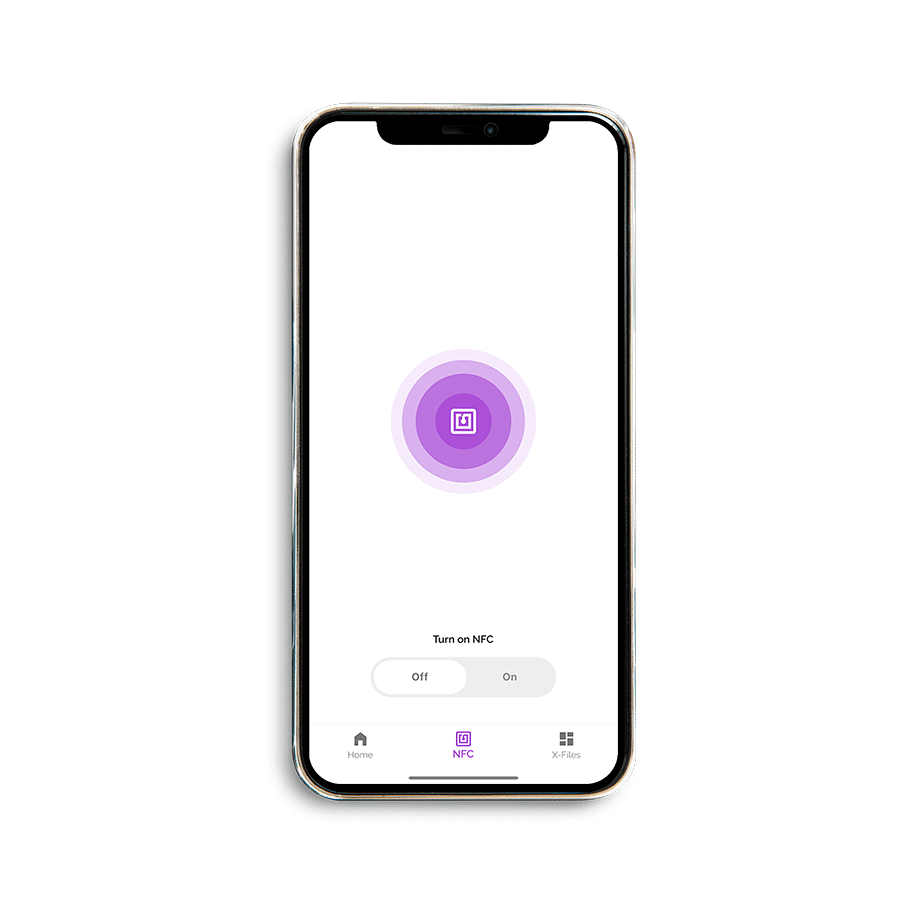
NFC Scan
Tag physical samples with low-cost NFC stickers for later use if needed (e.g. for calibration and validation development).
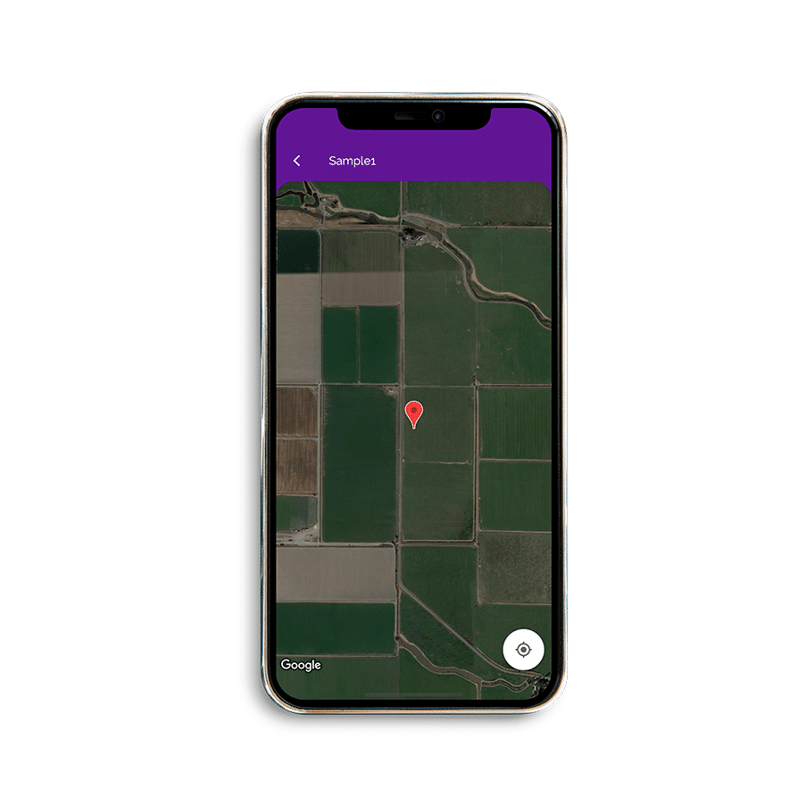
GPS Data
Associate GPS with the samples thereby enabling geospatial processing, interpolation, and mapping.
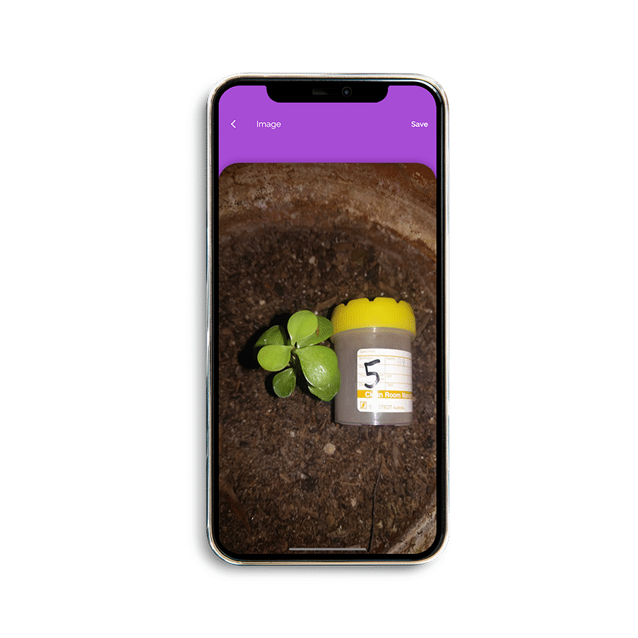
Image Covariates
Take pictures of samples to use as additional covariates in hybrid multivariate and AI models. Or just take pictures for fun.
